


(WAND WEATHER)- A significant winter storm is on the way to Central Illinois later this week.
Before it arrives, windy conditions will warm us well into the 40’s today and the 50’s Wednesday.
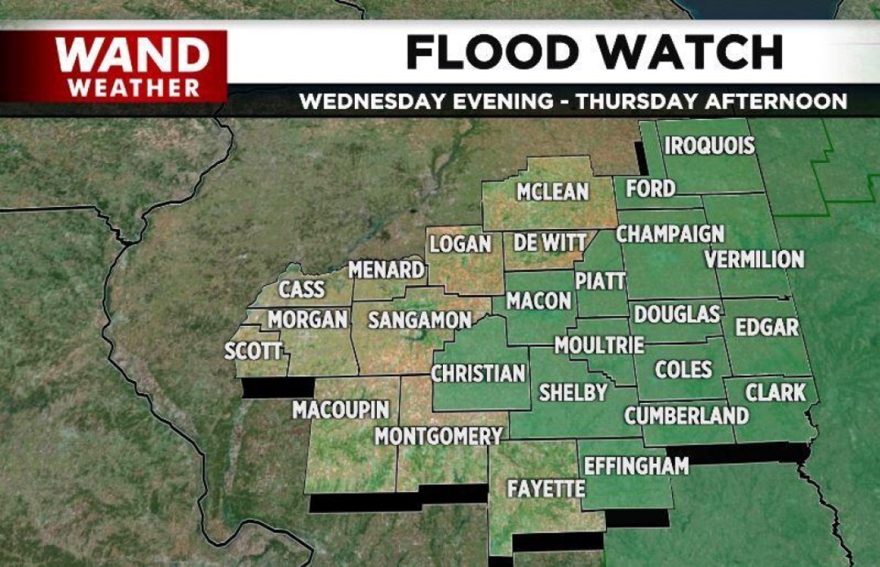
That storm will bring rain to Central Illinois by Wednesday afternoon and it’ll become heavier Wednesday night into Thursday. Rainfall amounts could easily top two inches. With heavy rain falling on a frozen ground and the melting snow, flooding will be a concern.
As temperatures fall Thursday, rain will change over to freezing rain and then snow. Significant icing is possible before we see a few inches of snow.
This is a developing situation and because the models are not in agreement, keep up on the latest forecast because any shift in the storm path will change the amount of ice and snow we get Thursday.
Bitterly cold temperatures and wind chills are forecast Thursday night and Friday before another warm up.